By Keyword |
By Person |
By Place |
Search
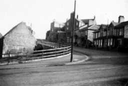
West Shield Row

Site of West Shield Row Farm on right.
The map below shows the location; in some cases this may be approximate. You can use the dropdown list to view historical maps if the scale is 10000 or lower.
Copyright: By viewing a digital image from this collection, you are agreeing to comply with copyright licensing regulations.
These state that your use of the image is for personal use only, and that you will not copy, publish or distribute the image in any way.
Please note, we have made every effort to ensure that copyright is not breached.